USGS NWIS Stream/River/Lake Site 02398863: WEST FORK LITTLE R TRIB. NR MENTONE, AL
Map
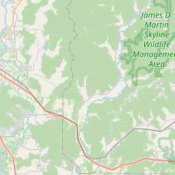


Leaflet | <a href="https://www.openstreetmap.org/copyright">© OpenStreetMap contributors</a>
Item
| Property | Value |
|---|---|
| id | 1000011 |
| cluster | None |
| dasqkm_diff | 1.2 |
| description | USGS NWIS Stream/River/Lake Site 02398863: WEST FORK LITTLE R TRIB. NR MENTONE, AL |
| fid | 11 |
| gage_totdasqkm | 1.5 |
| mainstem_uri | None |
| name | WEST FORK LITTLE R TRIB. NR MENTONE, AL |
| nhdpv2_comid | 15819173.0 |
| nhdpv2_link_source | https://github.com/internetofwater/ref_gages |
| nhdpv2_offset_m | 244.009859183222 |
| nhdpv2_reach_measure | 47.3042 |
| nhdpv2_reachcode | 03150105000687 |
| nhdpv2_totdasqkm | 2.7 |
| provider | https://waterdata.usgs.gov |
| provider_id | 02398863 |
| subjectof | https://waterdata.usgs.gov/monitoring-location/02398863 |
| uri | https://geoconnex.us/ref/gages/1000011 |