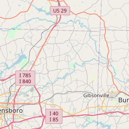
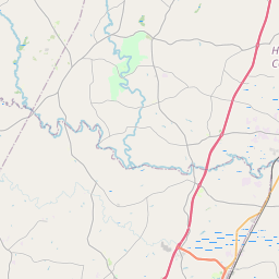
USGS NWIS Stream/River/Lake Site 360337078543601: DITCH BLACK MEADOW RUN SE ARGONNE DRIVE DURHAM NC
Map
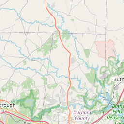

Leaflet | <a href="https://www.openstreetmap.org/copyright">© OpenStreetMap contributors</a>
Item
| Property | Value |
|---|---|
| id | 1000067 |
| cluster | https://geoconnex.us/ref/gages/1002788,https://geoconnex.us/ref/gages/1002851 |
| dasqkm_diff | 1.7 |
| description | USGS NWIS Stream/River/Lake Site 360337078543601: DITCH BLACK MEADOW RUN SE ARGONNE DRIVE DURHAM NC |
| fid | 67 |
| gage_totdasqkm | 0.0 |
| mainstem_uri | None |
| name | DITCH BLACK MEADOW RUN SE ARGONNE DRIVE DURHAM NC |
| nhdpv2_comid | 8777923.0 |
| nhdpv2_link_source | https://github.com/internetofwater/ref_gages |
| nhdpv2_offset_m | 69.2294131055642 |
| nhdpv2_reach_measure | 73.0974 |
| nhdpv2_reachcode | 03020201001997 |
| nhdpv2_totdasqkm | 1.7 |
| nws_url | None |
| provider | https://waterdata.usgs.gov |
| provider_id | 360337078543601 |
| subjectof | https://waterdata.usgs.gov/monitoring-location/360337078543601 |
| uri | https://geoconnex.us/ref/gages/1000067 |