USGS NWIS Stream/River/Lake Site 01115177: TOAD POND
Map
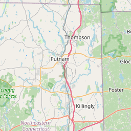

Leaflet | <a href="https://www.openstreetmap.org/copyright">© OpenStreetMap contributors</a>
Item
| Property | Value |
|---|---|
| id | 1000107 |
| cluster | None |
| dasqkm_diff | 5.2 |
| description | USGS NWIS Stream/River/Lake Site 01115177: TOAD POND |
| fid | 106 |
| gage_totdasqkm | 0.0 |
| mainstem_uri | None |
| name | TOAD POND |
| nhdpv2_comid | 6128651.0 |
| nhdpv2_link_source | https://github.com/internetofwater/ref_gages |
| nhdpv2_offset_m | 204.294066754775 |
| nhdpv2_reach_measure | 7.8416 |
| nhdpv2_reachcode | 01090004000860 |
| nhdpv2_totdasqkm | 5.2 |
| provider | https://waterdata.usgs.gov |
| provider_id | 01115177 |
| subjectof | https://waterdata.usgs.gov/monitoring-location/01115177 |
| uri | https://geoconnex.us/ref/gages/1000107 |