USGS NWIS Stream/River/Lake Site 08098260: Brushy Ck Watershed SW-17 nr Riesel, TX
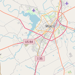
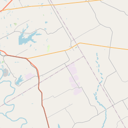
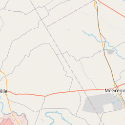
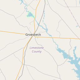
Map

Leaflet | <a href="https://www.openstreetmap.org/copyright">© OpenStreetMap contributors</a>
Item
| Property | Value |
|---|---|
| id | 1000120 |
| cluster | None |
| dasqkm_diff | 12.2 |
| description | USGS NWIS Stream/River/Lake Site 08098260: Brushy Ck Watershed SW-17 nr Riesel, TX |
| fid | 119 |
| gage_totdasqkm | 0.0 |
| mainstem_uri | None |
| name | Brushy Ck Watershed SW-17 nr Riesel, TX |
| nhdpv2_comid | 5554880.0 |
| nhdpv2_link_source | https://github.com/internetofwater/ref_gages |
| nhdpv2_offset_m | 146.906905477752 |
| nhdpv2_reach_measure | 99.2893 |
| nhdpv2_reachcode | 12070101000690 |
| nhdpv2_totdasqkm | 12.2 |
| provider | https://waterdata.usgs.gov |
| provider_id | 08098260 |
| subjectof | https://waterdata.usgs.gov/monitoring-location/08098260 |
| uri | https://geoconnex.us/ref/gages/1000120 |