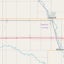
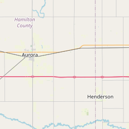
USGS NWIS Stream/River/Lake Site 405128097032000: BLUE R NAWQA EDGE OF FIELD, MILO
Map

Leaflet | <a href="https://www.openstreetmap.org/copyright">© OpenStreetMap contributors</a>
Item
| Property | Value |
|---|---|
| id | 1000175 |
| cluster | None |
| dasqkm_diff | 3.0 |
| description | USGS NWIS Stream/River/Lake Site 405128097032000: BLUE R NAWQA EDGE OF FIELD, MILO |
| fid | 171 |
| gage_totdasqkm | 0.1 |
| mainstem_uri | None |
| name | BLUE R NAWQA EDGE OF FIELD, MILO |
| nhdpv2_comid | 18814568.0 |
| nhdpv2_link_source | https://github.com/internetofwater/ref_gages |
| nhdpv2_offset_m | 102.40087169574 |
| nhdpv2_reach_measure | 38.1091 |
| nhdpv2_reachcode | 10270202000513 |
| nhdpv2_totdasqkm | 3.1 |
| nws_url | None |
| provider | https://waterdata.usgs.gov |
| provider_id | 405128097032000 |
| subjectof | https://waterdata.usgs.gov/monitoring-location/405128097032000 |
| uri | https://geoconnex.us/ref/gages/1000175 |