USGS NWIS Stream/River/Lake Site 02340000: MILL CREEK NEAR WARM SPRINGS, GA
Map
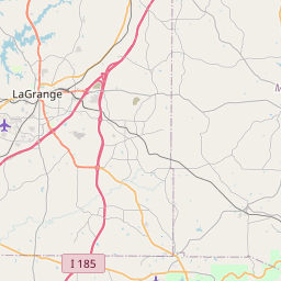
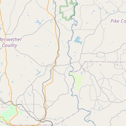
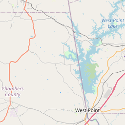
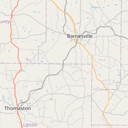
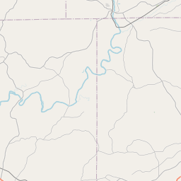
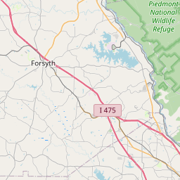

Leaflet | <a href="https://www.openstreetmap.org/copyright">© OpenStreetMap contributors</a>
Item
| Property | Value |
|---|---|
| id | 1005818 |
| cluster | None |
| dasqkm_diff | 0.6 |
| description | USGS NWIS Stream/River/Lake Site 02340000: MILL CREEK NEAR WARM SPRINGS, GA |
| fid | 171386 |
| gage_totdasqkm | 2.1 |
| mainstem_uri | None |
| name | MILL CREEK NEAR WARM SPRINGS, GA |
| nhdpv2_comid | 3294324.0 |
| nhdpv2_link_source | https://www.epa.gov/waterdata/nhdplus-national-hydrography-dataset-plus |
| nhdpv2_offset_m | 72.5483638484901 |
| nhdpv2_reach_measure | 40.77896 |
| nhdpv2_reachcode | 03130002002408 |
| nhdpv2_totdasqkm | 2.7 |
| nws_url | None |
| provider | https://waterdata.usgs.gov |
| provider_id | 02340000 |
| subjectof | https://waterdata.usgs.gov/monitoring-location/02340000 |
| uri | https://geoconnex.us/ref/gages/1005818 |