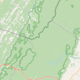
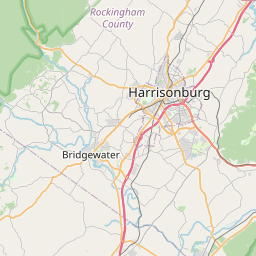
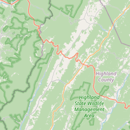
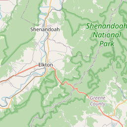
USGS NWIS Stream/River/Lake Site 01620820: BEAVER CREEK TRIB AT RT 742 NEAR CLOVER HILL, VA
Map

Leaflet | <a href="https://www.openstreetmap.org/copyright">© OpenStreetMap contributors</a>
Item
| Property | Value |
|---|---|
| id | 1006810 |
| cluster | https://geoconnex.us/ref/gages/1012163 |
| dasqkm_diff | 39.4 |
| description | USGS NWIS Stream/River/Lake Site 01620820: BEAVER CREEK TRIB AT RT 742 NEAR CLOVER HILL, VA |
| fid | 6496 |
| gage_totdasqkm | 2.6 |
| mainstem_uri | None |
| name | BEAVER CREEK TRIB AT RT 742 NEAR CLOVER HILL, VA |
| nhdpv2_comid | 5908925.0 |
| nhdpv2_link_source | https://github.com/internetofwater/ref_gages |
| nhdpv2_offset_m | 46.8976017180892 |
| nhdpv2_reach_measure | 70.6799 |
| nhdpv2_reachcode | 02070005000166 |
| nhdpv2_totdasqkm | 42.0 |
| nws_url | None |
| provider | https://waterdata.usgs.gov |
| provider_id | 01620820 |
| subjectof | https://waterdata.usgs.gov/monitoring-location/01620820 |
| uri | https://geoconnex.us/ref/gages/1006810 |