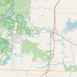
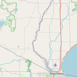
USGS NWIS Stream/River/Lake Site 04069416: PESHTIGO RIVER AT PORTERFIELD, WI
Map
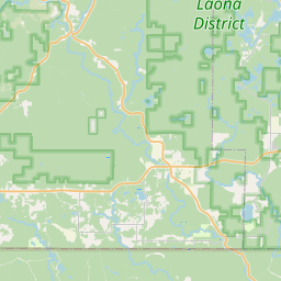


Leaflet | <a href="https://www.openstreetmap.org/copyright">© OpenStreetMap contributors</a>
Item
| Property | Value |
|---|---|
| id | 1013015 |
| cluster | None |
| dasqkm_diff | 69.0 |
| description | USGS NWIS Stream/River/Lake Site 04069416: PESHTIGO RIVER AT PORTERFIELD, WI |
| fid | 182970 |
| gage_totdasqkm | 2641.8 |
| mainstem_uri | https://geoconnex.us/ref/mainstems/2014500 |
| name | PESHTIGO RIVER AT PORTERFIELD, WI |
| nhdpv2_comid | 6818950.0 |
| nhdpv2_link_source | https://www.epa.gov/waterdata/nhdplus-national-hydrography-dataset-plus |
| nhdpv2_offset_m | 39.4068667199579 |
| nhdpv2_reach_measure | 68.645 |
| nhdpv2_reachcode | 04030105000173 |
| nhdpv2_totdasqkm | 2710.8 |
| nws_url | https://water.noaa.gov/gauges/PFDW3 |
| provider | https://waterdata.usgs.gov |
| provider_id | 04069416 |
| subjectof | https://waterdata.usgs.gov/monitoring-location/04069416 |
| uri | https://geoconnex.us/ref/gages/1013015 |