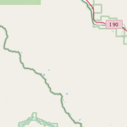
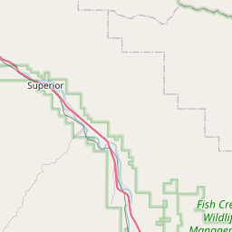
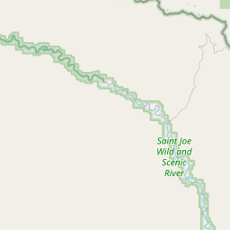
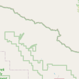
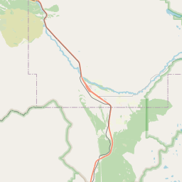
USGS NWIS Stream/River/Lake Site 12353650: Clark Fork at Superior, MT
Map

Leaflet | <a href="https://www.openstreetmap.org/copyright">© OpenStreetMap contributors</a>
Item
| Property | Value |
|---|---|
| id | 1013020 |
| cluster | None |
| dasqkm_diff | None |
| description | USGS NWIS Stream/River/Lake Site 12353650: Clark Fork at Superior, MT |
| fid | 12157 |
| gage_totdasqkm | 26443.8 |
| mainstem_uri | None |
| name | Clark Fork at Superior, MT |
| nhdpv2_comid | None |
| nhdpv2_link_source | None |
| nhdpv2_offset_m | None |
| nhdpv2_reach_measure | None |
| nhdpv2_reachcode | None |
| nhdpv2_totdasqkm | None |
| nws_url | None |
| provider | https://waterdata.usgs.gov |
| provider_id | 12353650 |
| subjectof | https://waterdata.usgs.gov/monitoring-location/12353650 |
| uri | https://geoconnex.us/ref/gages/1013020 |