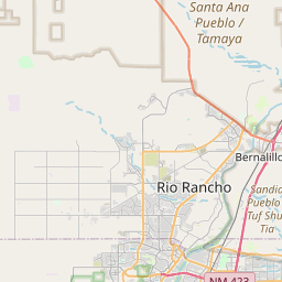
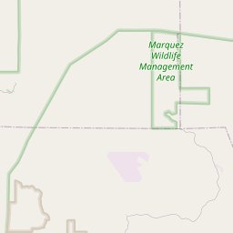
USGS NWIS Stream/River/Lake Site 08329000: JEMEZ RIVER BELOW JEMEZ CANYON DAM, NM
Map
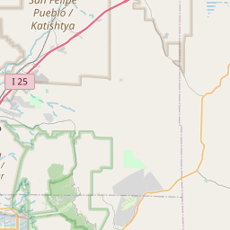

Leaflet | <a href="https://www.openstreetmap.org/copyright">© OpenStreetMap contributors</a>
Item
| Property | Value |
|---|---|
| id | 1013181 |
| cluster | None |
| dasqkm_diff | 7.69999999999982 |
| description | USGS NWIS Stream/River/Lake Site 08329000: JEMEZ RIVER BELOW JEMEZ CANYON DAM, NM |
| fid | 12289 |
| gage_totdasqkm | 2688.4 |
| mainstem_uri | https://geoconnex.us/ref/mainstems/1608558 |
| name | JEMEZ RIVER BELOW JEMEZ CANYON DAM, NM |
| nhdpv2_comid | 17828478.0 |
| nhdpv2_link_source | https://doi.org/10.5066/P9J5CK2Y |
| nhdpv2_offset_m | 4.73027375581075 |
| nhdpv2_reach_measure | 82.052 |
| nhdpv2_reachcode | 13020202000308 |
| nhdpv2_totdasqkm | 2696.1 |
| nws_url | None |
| provider | https://waterdata.usgs.gov |
| provider_id | 08329000 |
| subjectof | https://waterdata.usgs.gov/monitoring-location/08329000 |
| uri | https://geoconnex.us/ref/gages/1013181 |