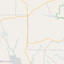
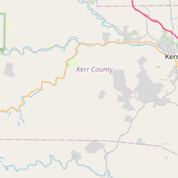
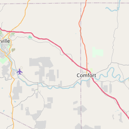
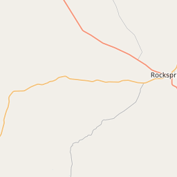
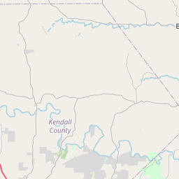
USGS NWIS Stream/River/Lake Site 08165250: N Fk Guadalupe Rv at Rk Bottom Rd nr Hunt, TX
Map


Leaflet | <a href="https://www.openstreetmap.org/copyright">© OpenStreetMap contributors</a>
Item
| Property | Value |
|---|---|
| id | 1015923 |
| cluster | None |
| dasqkm_diff | 1.5 |
| description | USGS NWIS Stream/River/Lake Site 08165250: N Fk Guadalupe Rv at Rk Bottom Rd nr Hunt, TX |
| fid | 13398 |
| gage_totdasqkm | 297.8 |
| mainstem_uri | https://geoconnex.us/ref/mainstems/2652346 |
| name | N Fk Guadalupe Rv at Rk Bottom Rd nr Hunt, TX |
| nhdpv2_comid | 3586160.0 |
| nhdpv2_link_source | https://github.com/internetofwater/ref_gages |
| nhdpv2_offset_m | 19.4454920138804 |
| nhdpv2_reach_measure | 91.7744 |
| nhdpv2_reachcode | 12100201000569 |
| nhdpv2_totdasqkm | 299.3 |
| nws_url | None |
| provider | https://waterdata.usgs.gov |
| provider_id | 08165250 |
| subjectof | https://waterdata.usgs.gov/monitoring-location/08165250 |
| uri | https://geoconnex.us/ref/gages/1015923 |