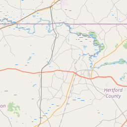
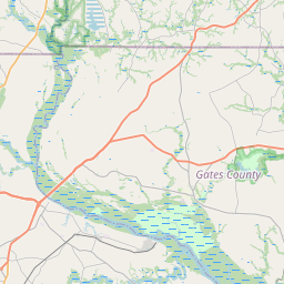
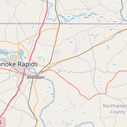
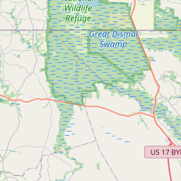
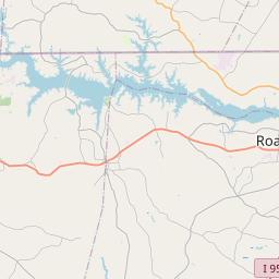
USGS NWIS Stream/River/Lake Site 0205013280: SOMERTON CREEK AT STATE LINE NEAR RIVERDALE, VA
Map

Leaflet | <a href="https://www.openstreetmap.org/copyright">© OpenStreetMap contributors</a>
Item
| Property | Value |
|---|---|
| id | 1015936 |
| cluster | None |
| dasqkm_diff | -13.4 |
| description | USGS NWIS Stream/River/Lake Site 0205013280: SOMERTON CREEK AT STATE LINE NEAR RIVERDALE, VA |
| fid | 13405 |
| gage_totdasqkm | 297.8 |
| mainstem_uri | https://geoconnex.us/ref/mainstems/2382237 |
| name | SOMERTON CREEK AT STATE LINE NEAR RIVERDALE, VA |
| nhdpv2_comid | 10460543.0 |
| nhdpv2_link_source | https://github.com/internetofwater/ref_gages |
| nhdpv2_offset_m | 43.5486427347293 |
| nhdpv2_reach_measure | 24.3584 |
| nhdpv2_reachcode | 03010203000034 |
| nhdpv2_totdasqkm | 284.4 |
| nws_url | None |
| provider | https://waterdata.usgs.gov |
| provider_id | 0205013280 |
| subjectof | https://waterdata.usgs.gov/monitoring-location/0205013280 |
| uri | https://geoconnex.us/ref/gages/1015936 |