USGS NWIS Stream/River/Lake Site 03557910: TOCCOA RIVER BUTTS BRIDGE NEAR DIAL, GA
Map
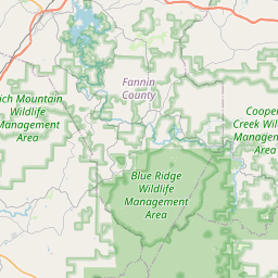
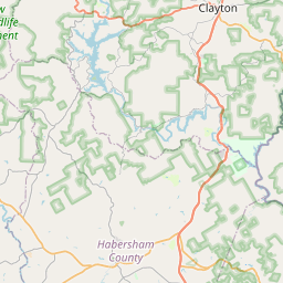

Leaflet | <a href="https://www.openstreetmap.org/copyright">© OpenStreetMap contributors</a>
Item
| Property | Value |
|---|---|
| id | 1016262 |
| cluster | None |
| dasqkm_diff | -0.200000000000045 |
| description | USGS NWIS Stream/River/Lake Site 03557910: TOCCOA RIVER BUTTS BRIDGE NEAR DIAL, GA |
| fid | 14870 |
| gage_totdasqkm | 305.6 |
| mainstem_uri | https://geoconnex.us/ref/mainstems/353722 |
| name | TOCCOA RIVER BUTTS BRIDGE NEAR DIAL, GA |
| nhdpv2_comid | 19668963.0 |
| nhdpv2_link_source | https://github.com/internetofwater/ref_gages |
| nhdpv2_offset_m | 23.3639728735134 |
| nhdpv2_reach_measure | 80.0327 |
| nhdpv2_reachcode | 06020003000085 |
| nhdpv2_totdasqkm | 305.4 |
| nws_url | None |
| provider | https://waterdata.usgs.gov |
| provider_id | 03557910 |
| subjectof | https://waterdata.usgs.gov/monitoring-location/03557910 |
| uri | https://geoconnex.us/ref/gages/1016262 |