USGS NWIS Stream/River/Lake Site 09208400: LABARGE CR AB VIOLA, WY
Map
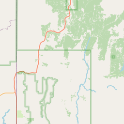
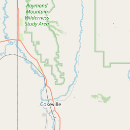
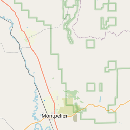

Leaflet | <a href="https://www.openstreetmap.org/copyright">© OpenStreetMap contributors</a>
Item
| Property | Value |
|---|---|
| id | 1017781 |
| cluster | None |
| dasqkm_diff | 1.10000000000002 |
| description | USGS NWIS Stream/River/Lake Site 09208400: LABARGE CR AB VIOLA, WY |
| fid | 183718 |
| gage_totdasqkm | 316.0 |
| mainstem_uri | https://geoconnex.us/ref/mainstems/38010 |
| name | LABARGE CR AB VIOLA, WY |
| nhdpv2_comid | 18353397.0 |
| nhdpv2_link_source | https://www.epa.gov/waterdata/nhdplus-national-hydrography-dataset-plus |
| nhdpv2_offset_m | 26.0566880867238 |
| nhdpv2_reach_measure | 56.6039 |
| nhdpv2_reachcode | 14040101000342 |
| nhdpv2_totdasqkm | 317.1 |
| nws_url | None |
| provider | https://waterdata.usgs.gov |
| provider_id | 09208400 |
| subjectof | https://waterdata.usgs.gov/monitoring-location/09208400 |
| uri | https://geoconnex.us/ref/gages/1017781 |