USGS NWIS Stream/River/Lake Site 01349850: BATAVIA KILL AT HENSONVILLE NY
Map
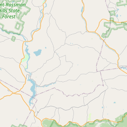
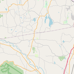
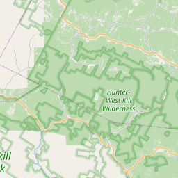
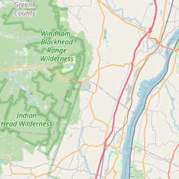
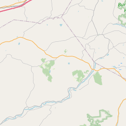
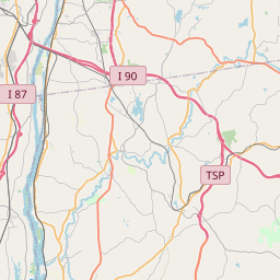
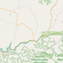
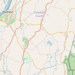

Leaflet | <a href="https://www.openstreetmap.org/copyright">© OpenStreetMap contributors</a>
Item
| Property | Value |
|---|---|
| id | 1019133 |
| cluster | None |
| dasqkm_diff | 27.9 |
| description | USGS NWIS Stream/River/Lake Site 01349850: BATAVIA KILL AT HENSONVILLE NY |
| fid | 17306 |
| gage_totdasqkm | 35.0 |
| mainstem_uri | https://geoconnex.us/ref/mainstems/2107933 |
| name | BATAVIA KILL AT HENSONVILLE NY |
| nhdpv2_comid | 3247564.0 |
| nhdpv2_link_source | https://github.com/internetofwater/ref_gages |
| nhdpv2_offset_m | 55.976370271152 |
| nhdpv2_reach_measure | 18.0316 |
| nhdpv2_reachcode | 02020005000192 |
| nhdpv2_totdasqkm | 62.9 |
| nws_url | None |
| provider | https://waterdata.usgs.gov |
| provider_id | 01349850 |
| subjectof | https://waterdata.usgs.gov/monitoring-location/01349850 |
| uri | https://geoconnex.us/ref/gages/1019133 |