USGS NWIS Stream/River/Lake Site 070322435: NONCONNAH CREEK AT FARRISVIEW RD AT MEMPHIS, TN
Map

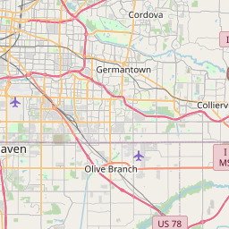


Leaflet | <a href="https://www.openstreetmap.org/copyright">© OpenStreetMap contributors</a>
Item
| Property | Value |
|---|---|
| id | 1020147 |
| cluster | None |
| dasqkm_diff | 1.19999999999999 |
| description | USGS NWIS Stream/River/Lake Site 070322435: NONCONNAH CREEK AT FARRISVIEW RD AT MEMPHIS, TN |
| fid | 18142 |
| gage_totdasqkm | 352.2 |
| mainstem_uri | https://geoconnex.us/ref/mainstems/365454 |
| name | NONCONNAH CREEK AT FARRISVIEW RD AT MEMPHIS, TN |
| nhdpv2_comid | 14199391.0 |
| nhdpv2_link_source | https://github.com/internetofwater/ref_gages |
| nhdpv2_offset_m | 14.7930435987173 |
| nhdpv2_reach_measure | 56.3063 |
| nhdpv2_reachcode | 08010211000038 |
| nhdpv2_totdasqkm | 353.4 |
| nws_url | https://water.noaa.gov/gauges/FRST1 |
| provider | https://waterdata.usgs.gov |
| provider_id | 070322435 |
| subjectof | https://waterdata.usgs.gov/monitoring-location/070322435 |
| uri | https://geoconnex.us/ref/gages/1020147 |