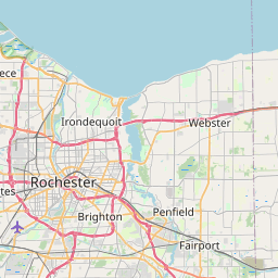
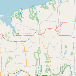
USGS NWIS Stream/River/Lake Site 0423205009: IRONDEQUOIT CREEK NEAR BLOSSOM RD AT ROCHESTER N
Map

Leaflet | <a href="https://www.openstreetmap.org/copyright">© OpenStreetMap contributors</a>
Item
| Property | Value |
|---|---|
| id | 1021609 |
| cluster | None |
| dasqkm_diff | -12.7 |
| description | USGS NWIS Stream/River/Lake Site 0423205009: IRONDEQUOIT CREEK NEAR BLOSSOM RD AT ROCHESTER N |
| fid | 19377 |
| gage_totdasqkm | 367.8 |
| mainstem_uri | https://geoconnex.us/ref/mainstems/2083690 |
| name | IRONDEQUOIT CREEK NEAR BLOSSOM RD AT ROCHESTER N |
| nhdpv2_comid | 21633937.0 |
| nhdpv2_link_source | https://github.com/internetofwater/ref_gages |
| nhdpv2_offset_m | 36.6704629281793 |
| nhdpv2_reach_measure | 57.0953 |
| nhdpv2_reachcode | 04140101000046 |
| nhdpv2_totdasqkm | 355.1 |
| nws_url | None |
| provider | https://waterdata.usgs.gov |
| provider_id | 0423205009 |
| subjectof | https://waterdata.usgs.gov/monitoring-location/0423205009 |
| uri | https://geoconnex.us/ref/gages/1021609 |