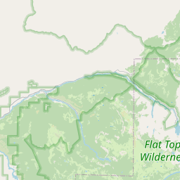
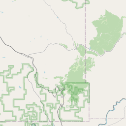
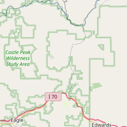
USGS NWIS Stream/River/Lake Site 09303500: SOUTH FORK WHITE RIVER NEAR BUFORD, CO.
Map


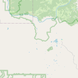

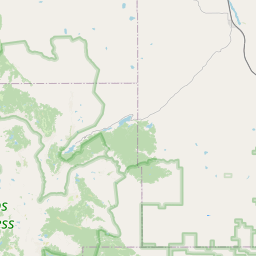

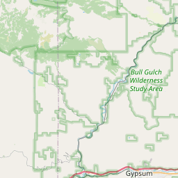


Leaflet | <a href="https://www.openstreetmap.org/copyright">© OpenStreetMap contributors</a>
Item
| Property | Value |
|---|---|
| id | 1023344 |
| cluster | None |
| dasqkm_diff | 0.699999999999989 |
| description | USGS NWIS Stream/River/Lake Site 09303500: SOUTH FORK WHITE RIVER NEAR BUFORD, CO. |
| fid | 20842 |
| gage_totdasqkm | 393.7 |
| mainstem_uri | https://geoconnex.us/ref/mainstems/41360 |
| name | SOUTH FORK WHITE RIVER NEAR BUFORD, CO. |
| nhdpv2_comid | 1344368.0 |
| nhdpv2_link_source | https://doi.org/10.5066/P9J5CK2Y |
| nhdpv2_offset_m | 1.00896771452335 |
| nhdpv2_reach_measure | 13.925 |
| nhdpv2_reachcode | 14050005000162 |
| nhdpv2_totdasqkm | 394.4 |
| nws_url | None |
| provider | https://waterdata.usgs.gov |
| provider_id | 09303500 |
| subjectof | https://waterdata.usgs.gov/monitoring-location/09303500 |
| uri | https://geoconnex.us/ref/gages/1023344 |