USGS NWIS Stream/River/Lake Site 02341665: UPATOI CREEK BELOW BAKER CREEK, NEAR UPATOI, GA
Map
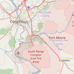

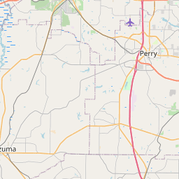

Leaflet | <a href="https://www.openstreetmap.org/copyright">© OpenStreetMap contributors</a>
Item
| Property | Value |
|---|---|
| id | 1023347 |
| cluster | None |
| dasqkm_diff | -1.0 |
| description | USGS NWIS Stream/River/Lake Site 02341665: UPATOI CREEK BELOW BAKER CREEK, NEAR UPATOI, GA |
| fid | 20845 |
| gage_totdasqkm | 393.7 |
| mainstem_uri | https://geoconnex.us/ref/mainstems/1674188 |
| name | UPATOI CREEK BELOW BAKER CREEK, NEAR UPATOI, GA |
| nhdpv2_comid | 3430164.0 |
| nhdpv2_link_source | https://github.com/internetofwater/ref_gages |
| nhdpv2_offset_m | 48.8612727369085 |
| nhdpv2_reach_measure | 40.8115 |
| nhdpv2_reachcode | 03130003000327 |
| nhdpv2_totdasqkm | 392.7 |
| nws_url | None |
| provider | https://waterdata.usgs.gov |
| provider_id | 02341665 |
| subjectof | https://waterdata.usgs.gov/monitoring-location/02341665 |
| uri | https://geoconnex.us/ref/gages/1023347 |