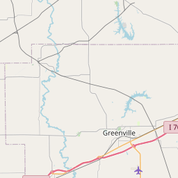
USGS NWIS Stream/River/Lake Site 05592800: HURRICANE CREEK NEAR MULBERRY GROVE, IL
Map

Leaflet | <a href="https://www.openstreetmap.org/copyright">© OpenStreetMap contributors</a>
Item
| Property | Value |
|---|---|
| id | 1023350 |
| cluster | None |
| dasqkm_diff | 0.699999999999989 |
| description | USGS NWIS Stream/River/Lake Site 05592800: HURRICANE CREEK NEAR MULBERRY GROVE, IL |
| fid | 20848 |
| gage_totdasqkm | 393.7 |
| mainstem_uri | https://geoconnex.us/ref/mainstems/385844 |
| name | HURRICANE CREEK NEAR MULBERRY GROVE, IL |
| nhdpv2_comid | 13870316.0 |
| nhdpv2_link_source | https://github.com/internetofwater/ref_gages |
| nhdpv2_offset_m | 21.7173153034498 |
| nhdpv2_reach_measure | 79.4686 |
| nhdpv2_reachcode | 07140202000213 |
| nhdpv2_totdasqkm | 394.4 |
| nws_url | None |
| provider | https://waterdata.usgs.gov |
| provider_id | 05592800 |
| subjectof | https://waterdata.usgs.gov/monitoring-location/05592800 |
| uri | https://geoconnex.us/ref/gages/1023350 |