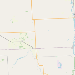
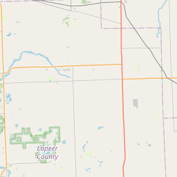
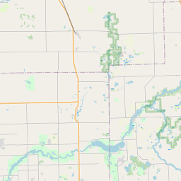
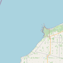
USGS NWIS Stream/River/Lake Site 04159893: MILL CREEK AT WILKES ROAD NEAR YALE, MI
Map


Leaflet | <a href="https://www.openstreetmap.org/copyright">© OpenStreetMap contributors</a>
Item
| Property | Value |
|---|---|
| id | 1023357 |
| cluster | None |
| dasqkm_diff | -1.89999999999998 |
| description | USGS NWIS Stream/River/Lake Site 04159893: MILL CREEK AT WILKES ROAD NEAR YALE, MI |
| fid | 20854 |
| gage_totdasqkm | 393.7 |
| mainstem_uri | https://geoconnex.us/ref/mainstems/2055264 |
| name | MILL CREEK AT WILKES ROAD NEAR YALE, MI |
| nhdpv2_comid | 13193894.0 |
| nhdpv2_link_source | https://github.com/internetofwater/ref_gages |
| nhdpv2_offset_m | 25.7852870075114 |
| nhdpv2_reach_measure | 37.6795 |
| nhdpv2_reachcode | 04090001000183 |
| nhdpv2_totdasqkm | 391.8 |
| nws_url | None |
| provider | https://waterdata.usgs.gov |
| provider_id | 04159893 |
| subjectof | https://waterdata.usgs.gov/monitoring-location/04159893 |
| uri | https://geoconnex.us/ref/gages/1023357 |