USGS NWIS Stream/River/Lake Site 02490750: MCGEES CREEK AT TYLERTOWN, MISS.
Map
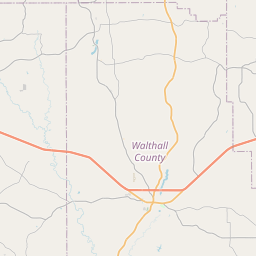
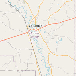
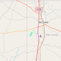
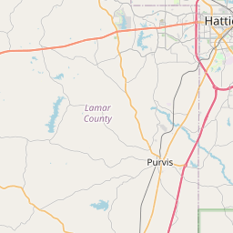

Leaflet | <a href="https://www.openstreetmap.org/copyright">© OpenStreetMap contributors</a>
Item
| Property | Value |
|---|---|
| id | 1023362 |
| cluster | None |
| dasqkm_diff | -0.399999999999977 |
| description | USGS NWIS Stream/River/Lake Site 02490750: MCGEES CREEK AT TYLERTOWN, MISS. |
| fid | 20859 |
| gage_totdasqkm | 393.7 |
| mainstem_uri | https://geoconnex.us/ref/mainstems/2219439 |
| name | MCGEES CREEK AT TYLERTOWN, MISS. |
| nhdpv2_comid | 15687803.0 |
| nhdpv2_link_source | https://doi.org/10.5066/P9J5CK2Y |
| nhdpv2_offset_m | 0.859336754607714 |
| nhdpv2_reach_measure | 74.797 |
| nhdpv2_reachcode | 03180005000080 |
| nhdpv2_totdasqkm | 393.3 |
| nws_url | None |
| provider | https://waterdata.usgs.gov |
| provider_id | 02490750 |
| subjectof | https://waterdata.usgs.gov/monitoring-location/02490750 |
| uri | https://geoconnex.us/ref/gages/1023362 |