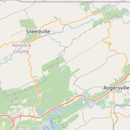
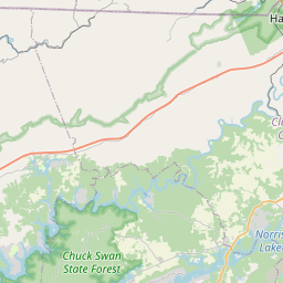
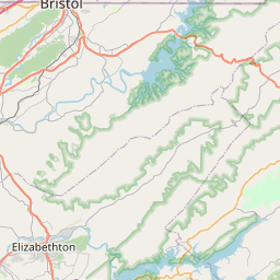
USGS NWIS Stream/River/Lake Site 03491565: CLOUD CREEK NEAR MARBLE HALL, TN
Map

Leaflet | <a href="https://www.openstreetmap.org/copyright">© OpenStreetMap contributors</a>
Item
| Property | Value |
|---|---|
| id | 1024354 |
| cluster | None |
| dasqkm_diff | 0.100000000000001 |
| description | USGS NWIS Stream/River/Lake Site 03491565: CLOUD CREEK NEAR MARBLE HALL, TN |
| fid | 19123 |
| gage_totdasqkm | 42.5 |
| mainstem_uri | None |
| name | CLOUD CREEK NEAR MARBLE HALL, TN |
| nhdpv2_comid | 22180152.0 |
| nhdpv2_link_source | https://github.com/internetofwater/ref_gages |
| nhdpv2_offset_m | 47.1792967777492 |
| nhdpv2_reach_measure | 9.2731 |
| nhdpv2_reachcode | 06010104001006 |
| nhdpv2_totdasqkm | 42.6 |
| nws_url | None |
| provider | https://waterdata.usgs.gov |
| provider_id | 03491565 |
| subjectof | https://waterdata.usgs.gov/monitoring-location/03491565 |
| uri | https://geoconnex.us/ref/gages/1024354 |