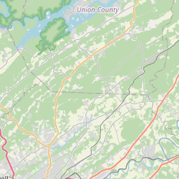
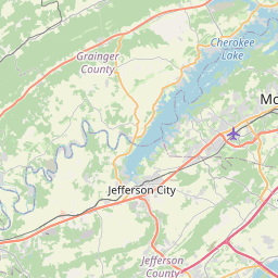
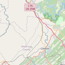
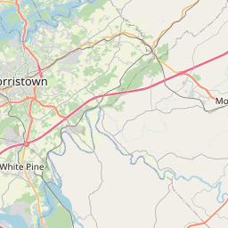
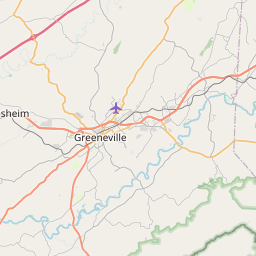
USGS NWIS Stream/River/Lake Site 03494719: BEAVER CREEK NEAR MASCOT, TN
Map

Leaflet | <a href="https://www.openstreetmap.org/copyright">© OpenStreetMap contributors</a>
Item
| Property | Value |
|---|---|
| id | 1024355 |
| cluster | None |
| dasqkm_diff | 9.1 |
| description | USGS NWIS Stream/River/Lake Site 03494719: BEAVER CREEK NEAR MASCOT, TN |
| fid | 21675 |
| gage_totdasqkm | 42.5 |
| mainstem_uri | https://geoconnex.us/ref/mainstems/516793 |
| name | BEAVER CREEK NEAR MASCOT, TN |
| nhdpv2_comid | 22179608.0 |
| nhdpv2_link_source | https://github.com/internetofwater/ref_gages |
| nhdpv2_offset_m | 50.3800093625281 |
| nhdpv2_reach_measure | 57.1944 |
| nhdpv2_reachcode | 06010104000185 |
| nhdpv2_totdasqkm | 51.6 |
| nws_url | None |
| provider | https://waterdata.usgs.gov |
| provider_id | 03494719 |
| subjectof | https://waterdata.usgs.gov/monitoring-location/03494719 |
| uri | https://geoconnex.us/ref/gages/1024355 |