USGS NWIS Stream/River/Lake Site 10210000: PLEASANT CREEK NEAR MOUNT PLEASANT, UTAH
Map
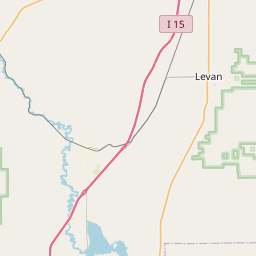
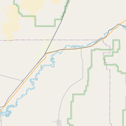

Leaflet | <a href="https://www.openstreetmap.org/copyright">© OpenStreetMap contributors</a>
Item
| Property | Value |
|---|---|
| id | 1024366 |
| cluster | None |
| dasqkm_diff | 2.3 |
| description | USGS NWIS Stream/River/Lake Site 10210000: PLEASANT CREEK NEAR MOUNT PLEASANT, UTAH |
| fid | 21685 |
| gage_totdasqkm | 42.5 |
| mainstem_uri | https://geoconnex.us/ref/mainstems/1923601 |
| name | PLEASANT CREEK NEAR MOUNT PLEASANT, UTAH |
| nhdpv2_comid | 5301135.0 |
| nhdpv2_link_source | https://doi.org/10.5066/P9J5CK2Y |
| nhdpv2_offset_m | 1.83178379743312 |
| nhdpv2_reach_measure | 90.956 |
| nhdpv2_reachcode | 16030004000060 |
| nhdpv2_totdasqkm | 44.8 |
| nws_url | None |
| provider | https://waterdata.usgs.gov |
| provider_id | 10210000 |
| subjectof | https://waterdata.usgs.gov/monitoring-location/10210000 |
| uri | https://geoconnex.us/ref/gages/1024366 |