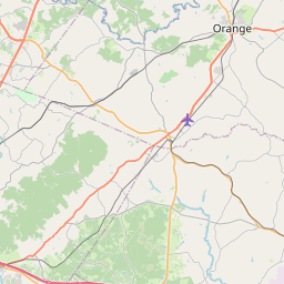
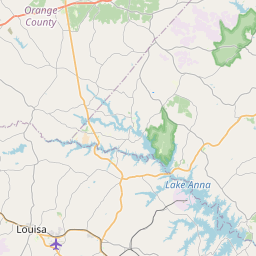
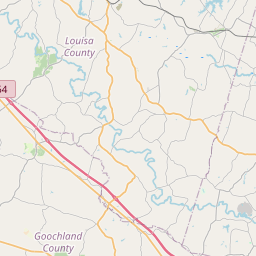
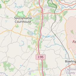
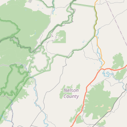
USGS NWIS Stream/River/Lake Site 01671600: CAMP CREEK AT POINDEXTER, VA
Map


Leaflet | <a href="https://www.openstreetmap.org/copyright">© OpenStreetMap contributors</a>
Item
| Property | Value |
|---|---|
| id | 1024367 |
| cluster | None |
| dasqkm_diff | -24.6 |
| description | USGS NWIS Stream/River/Lake Site 01671600: CAMP CREEK AT POINDEXTER, VA |
| fid | 21686 |
| gage_totdasqkm | 42.5 |
| mainstem_uri | https://geoconnex.us/ref/mainstems/2174349 |
| name | CAMP CREEK AT POINDEXTER, VA |
| nhdpv2_comid | 8502736.0 |
| nhdpv2_link_source | https://github.com/internetofwater/ref_gages |
| nhdpv2_offset_m | 23.4619720575626 |
| nhdpv2_reach_measure | 0.4066 |
| nhdpv2_reachcode | 02080106001514 |
| nhdpv2_totdasqkm | 17.9 |
| nws_url | None |
| provider | https://waterdata.usgs.gov |
| provider_id | 01671600 |
| subjectof | https://waterdata.usgs.gov/monitoring-location/01671600 |
| uri | https://geoconnex.us/ref/gages/1024367 |