USGS NWIS Stream/River/Lake Site 02204070: SOUTH RIVER AT KLONDIKE ROAD, NEAR LITHONIA, GA
Map
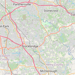


Leaflet | <a href="https://www.openstreetmap.org/copyright">© OpenStreetMap contributors</a>
Item
| Property | Value |
|---|---|
| id | 1027935 |
| cluster | None |
| dasqkm_diff | 8.30000000000001 |
| description | USGS NWIS Stream/River/Lake Site 02204070: SOUTH RIVER AT KLONDIKE ROAD, NEAR LITHONIA, GA |
| fid | 24685 |
| gage_totdasqkm | 471.4 |
| mainstem_uri | https://geoconnex.us/ref/mainstems/2476209 |
| name | SOUTH RIVER AT KLONDIKE ROAD, NEAR LITHONIA, GA |
| nhdpv2_comid | 6333824.0 |
| nhdpv2_link_source | https://github.com/internetofwater/ref_gages |
| nhdpv2_offset_m | 25.2812351749625 |
| nhdpv2_reach_measure | 67.5713 |
| nhdpv2_reachcode | 03070103000390 |
| nhdpv2_totdasqkm | 479.7 |
| nws_url | https://water.noaa.gov/gauges/SOUG1 |
| provider | https://waterdata.usgs.gov |
| provider_id | 02204070 |
| subjectof | https://waterdata.usgs.gov/monitoring-location/02204070 |
| uri | https://geoconnex.us/ref/gages/1027935 |