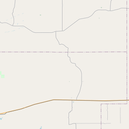
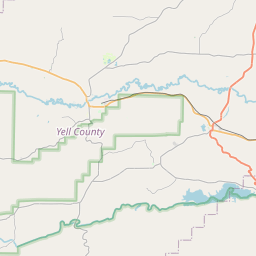
USGS NWIS Stream/River/Lake Site 07247000: Poteau River at Cauthron, AR
Map
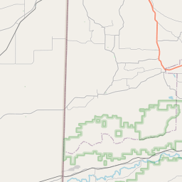
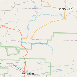
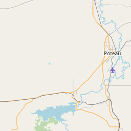
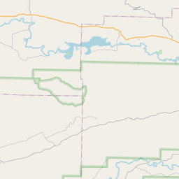

Leaflet | <a href="https://www.openstreetmap.org/copyright">© OpenStreetMap contributors</a>
Item
| Property | Value |
|---|---|
| id | 1033957 |
| cluster | None |
| dasqkm_diff | 1.70000000000005 |
| description | USGS NWIS Stream/River/Lake Site 07247000: Poteau River at Cauthron, AR |
| fid | 30014 |
| gage_totdasqkm | 525.8 |
| mainstem_uri | https://geoconnex.us/ref/mainstems/338734 |
| name | Poteau River at Cauthron, AR |
| nhdpv2_comid | 6048196.0 |
| nhdpv2_link_source | https://doi.org/10.5066/P9J5CK2Y |
| nhdpv2_offset_m | 2.24536115395864 |
| nhdpv2_reach_measure | 57.123 |
| nhdpv2_reachcode | 11110105003142 |
| nhdpv2_totdasqkm | 527.5 |
| nws_url | None |
| provider | https://waterdata.usgs.gov |
| provider_id | 07247000 |
| subjectof | https://waterdata.usgs.gov/monitoring-location/07247000 |
| uri | https://geoconnex.us/ref/gages/1033957 |