USGS NWIS Stream/River/Lake Site 02191975: LONG CREEK AT VINSON RD, NEAR TIGNALL, GA
Map
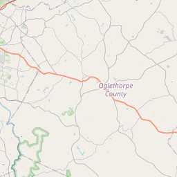
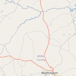
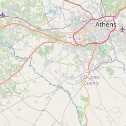
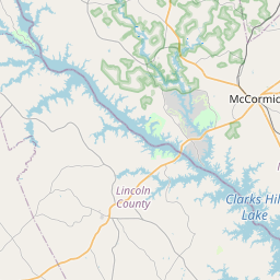


Leaflet | <a href="https://www.openstreetmap.org/copyright">© OpenStreetMap contributors</a>
Item
| Property | Value |
|---|---|
| id | 1033964 |
| cluster | None |
| dasqkm_diff | 4.60000000000002 |
| description | USGS NWIS Stream/River/Lake Site 02191975: LONG CREEK AT VINSON RD, NEAR TIGNALL, GA |
| fid | 30020 |
| gage_totdasqkm | 525.8 |
| mainstem_uri | https://geoconnex.us/ref/mainstems/2455449 |
| name | LONG CREEK AT VINSON RD, NEAR TIGNALL, GA |
| nhdpv2_comid | 6279829.0 |
| nhdpv2_link_source | https://github.com/internetofwater/ref_gages |
| nhdpv2_offset_m | 69.9038175112672 |
| nhdpv2_reach_measure | 25.3016 |
| nhdpv2_reachcode | 03060104000397 |
| nhdpv2_totdasqkm | 530.4 |
| nws_url | None |
| provider | https://waterdata.usgs.gov |
| provider_id | 02191975 |
| subjectof | https://waterdata.usgs.gov/monitoring-location/02191975 |
| uri | https://geoconnex.us/ref/gages/1033964 |