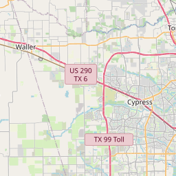
USGS NWIS Stream/River/Lake Site 08068800: Cypress Ck at Grant Rd nr Cypress, TX
Map
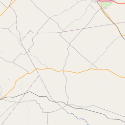
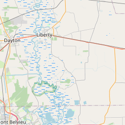

Leaflet | <a href="https://www.openstreetmap.org/copyright">© OpenStreetMap contributors</a>
Item
| Property | Value |
|---|---|
| id | 1035161 |
| cluster | None |
| dasqkm_diff | -5.59999999999991 |
| description | USGS NWIS Stream/River/Lake Site 08068800: Cypress Ck at Grant Rd nr Cypress, TX |
| fid | 31029 |
| gage_totdasqkm | 554.3 |
| mainstem_uri | https://geoconnex.us/ref/mainstems/2600551 |
| name | Cypress Ck at Grant Rd nr Cypress, TX |
| nhdpv2_comid | 1509175.0 |
| nhdpv2_link_source | https://doi.org/10.5066/P9J5CK2Y |
| nhdpv2_offset_m | 1.07551007088704 |
| nhdpv2_reach_measure | 49.18 |
| nhdpv2_reachcode | 12040102000042 |
| nhdpv2_totdasqkm | 548.7 |
| nws_url | https://water.noaa.gov/gauges/CCGT2 |
| provider | https://waterdata.usgs.gov |
| provider_id | 08068800 |
| subjectof | https://waterdata.usgs.gov/monitoring-location/08068800 |
| uri | https://geoconnex.us/ref/gages/1035161 |