USGS NWIS Stream/River/Lake Site 11315400: UPPER BEAR R RES NR PARDOE CAMP CA
Map
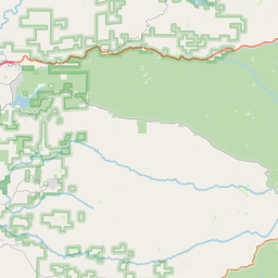
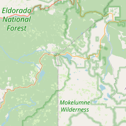
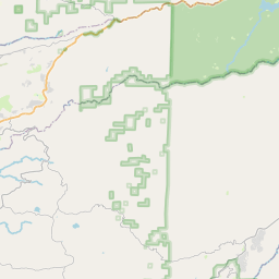
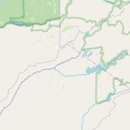

Leaflet | <a href="https://www.openstreetmap.org/copyright">© OpenStreetMap contributors</a>
Item
| Property | Value |
|---|---|
| id | 1040972 |
| cluster | None |
| dasqkm_diff | 0.400000000000006 |
| description | USGS NWIS Stream/River/Lake Site 11315400: UPPER BEAR R RES NR PARDOE CAMP CA |
| fid | 187183 |
| gage_totdasqkm | 72.8 |
| mainstem_uri | https://geoconnex.us/ref/mainstems/1808187 |
| name | UPPER BEAR R RES NR PARDOE CAMP CA |
| nhdpv2_comid | 17053564.0 |
| nhdpv2_link_source | https://www.epa.gov/waterdata/nhdplus-national-hydrography-dataset-plus |
| nhdpv2_offset_m | 79.706169070356 |
| nhdpv2_reach_measure | 0.0 |
| nhdpv2_reachcode | 18040012002929 |
| nhdpv2_totdasqkm | 73.2 |
| nws_url | None |
| provider | https://waterdata.usgs.gov |
| provider_id | 11315400 |
| subjectof | https://waterdata.usgs.gov/monitoring-location/11315400 |
| uri | https://geoconnex.us/ref/gages/1040972 |