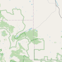
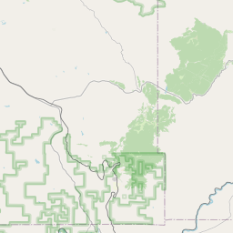
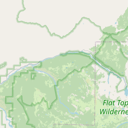
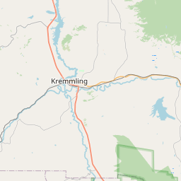
USGS NWIS Stream/River/Lake Site 09060700: EGERIA CREEK NEAR TOPONAS, CO.
Map


Leaflet | <a href="https://www.openstreetmap.org/copyright">© OpenStreetMap contributors</a>
Item
| Property | Value |
|---|---|
| id | 1040982 |
| cluster | None |
| dasqkm_diff | 4.59999999999999 |
| description | USGS NWIS Stream/River/Lake Site 09060700: EGERIA CREEK NEAR TOPONAS, CO. |
| fid | 187186 |
| gage_totdasqkm | 73.0 |
| mainstem_uri | https://geoconnex.us/ref/mainstems/48502 |
| name | EGERIA CREEK NEAR TOPONAS, CO. |
| nhdpv2_comid | 1232783.0 |
| nhdpv2_link_source | https://www.epa.gov/waterdata/nhdplus-national-hydrography-dataset-plus |
| nhdpv2_offset_m | 31.2661373247623 |
| nhdpv2_reach_measure | 5.9781 |
| nhdpv2_reachcode | 14010001002254 |
| nhdpv2_totdasqkm | 77.6 |
| nws_url | None |
| provider | https://waterdata.usgs.gov |
| provider_id | 09060700 |
| subjectof | https://waterdata.usgs.gov/monitoring-location/09060700 |
| uri | https://geoconnex.us/ref/gages/1040982 |