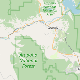
USGS NWIS Stream/River/Lake Site 09060799: COLORADO RIVER AT CATAMOUNT BRIDGE, CO
Map
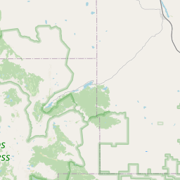
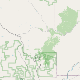
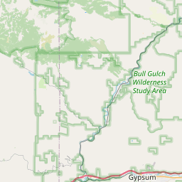
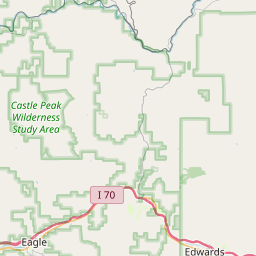
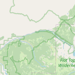
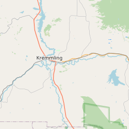
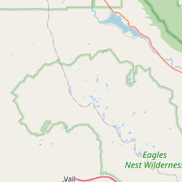


Leaflet | <a href="https://www.openstreetmap.org/copyright">© OpenStreetMap contributors</a>
Item
| Property | Value |
|---|---|
| id | 1042102 |
| cluster | https://geoconnex.us/ref/gages/1189877 |
| dasqkm_diff | -20.3000000000002 |
| description | USGS NWIS Stream/River/Lake Site 09060799: COLORADO RIVER AT CATAMOUNT BRIDGE, CO |
| fid | 36830 |
| gage_totdasqkm | 7588.7 |
| mainstem_uri | https://geoconnex.us/ref/mainstems/29559 |
| name | COLORADO RIVER AT CATAMOUNT BRIDGE, CO |
| nhdpv2_comid | 1237521.0 |
| nhdpv2_link_source | https://github.com/internetofwater/ref_gages |
| nhdpv2_offset_m | 18.5908147523754 |
| nhdpv2_reach_measure | 2.9634 |
| nhdpv2_reachcode | 14010001000056 |
| nhdpv2_totdasqkm | 7568.4 |
| nws_url | None |
| provider | https://waterdata.usgs.gov |
| provider_id | 09060799 |
| subjectof | https://waterdata.usgs.gov/monitoring-location/09060799 |
| uri | https://geoconnex.us/ref/gages/1042102 |