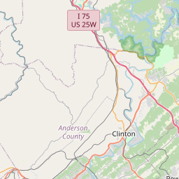
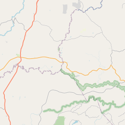
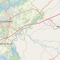
USGS NWIS Stream/River/Lake Site 03534600: CLINCH RIVER ATRAILROAD BRIDGE AT CLINTON, TN
Map

Leaflet | <a href="https://www.openstreetmap.org/copyright">© OpenStreetMap contributors</a>
Item
| Property | Value |
|---|---|
| id | 1045632 |
| cluster | None |
| dasqkm_diff | -103.6 |
| description | USGS NWIS Stream/River/Lake Site 03534600: CLINCH RIVER ATRAILROAD BRIDGE AT CLINTON, TN |
| fid | 40023 |
| gage_totdasqkm | 7915.0 |
| mainstem_uri | https://geoconnex.us/ref/mainstems/328524 |
| name | CLINCH RIVER ATRAILROAD BRIDGE AT CLINTON, TN |
| nhdpv2_comid | 22124332.0 |
| nhdpv2_link_source | https://github.com/internetofwater/ref_gages |
| nhdpv2_offset_m | 86.3806605590073 |
| nhdpv2_reach_measure | 15.9093 |
| nhdpv2_reachcode | 06010207000793 |
| nhdpv2_totdasqkm | 7811.4 |
| nws_url | None |
| provider | https://waterdata.usgs.gov |
| provider_id | 03534600 |
| subjectof | https://waterdata.usgs.gov/monitoring-location/03534600 |
| uri | https://geoconnex.us/ref/gages/1045632 |