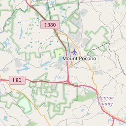
USGS NWIS Stream/River/Lake Site 01440304: BRODHEAD CREEK NEAR MOUNTAINHOME, PA
Map


Leaflet | <a href="https://www.openstreetmap.org/copyright">© OpenStreetMap contributors</a>
Item
| Property | Value |
|---|---|
| id | 1054004 |
| cluster | None |
| dasqkm_diff | 6.60000000000001 |
| description | USGS NWIS Stream/River/Lake Site 01440304: BRODHEAD CREEK NEAR MOUNTAINHOME, PA |
| fid | 47178 |
| gage_totdasqkm | 108.3 |
| mainstem_uri | https://geoconnex.us/ref/mainstems/2123592 |
| name | BRODHEAD CREEK NEAR MOUNTAINHOME, PA |
| nhdpv2_comid | 4152990.0 |
| nhdpv2_link_source | https://github.com/internetofwater/ref_gages |
| nhdpv2_offset_m | 83.8670376607133 |
| nhdpv2_reach_measure | 81.9308 |
| nhdpv2_reachcode | 02040104000383 |
| nhdpv2_totdasqkm | 114.9 |
| nws_url | None |
| provider | https://waterdata.usgs.gov |
| provider_id | 01440304 |
| subjectof | https://waterdata.usgs.gov/monitoring-location/01440304 |
| uri | https://geoconnex.us/ref/gages/1054004 |