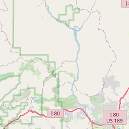
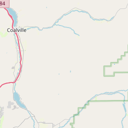
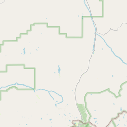
USGS NWIS Stream/River/Lake Site 10130500: WEBER RIVER NEAR COALVILLE, UT
Map

Leaflet | <a href="https://www.openstreetmap.org/copyright">© OpenStreetMap contributors</a>
Item
| Property | Value |
|---|---|
| id | 1055028 |
| cluster | None |
| dasqkm_diff | -59.0 |
| description | USGS NWIS Stream/River/Lake Site 10130500: WEBER RIVER NEAR COALVILLE, UT |
| fid | 48018 |
| gage_totdasqkm | 1126.6 |
| mainstem_uri | https://geoconnex.us/ref/mainstems/1919560 |
| name | WEBER RIVER NEAR COALVILLE, UT |
| nhdpv2_comid | 10092262.0 |
| nhdpv2_link_source | https://github.com/internetofwater/ref_gages |
| nhdpv2_offset_m | 44.2822840657082 |
| nhdpv2_reach_measure | 17.7326 |
| nhdpv2_reachcode | 16020101000948 |
| nhdpv2_totdasqkm | 1067.6 |
| nws_url | https://water.noaa.gov/gauges/CLLU1 |
| provider | https://waterdata.usgs.gov |
| provider_id | 10130500 |
| subjectof | https://waterdata.usgs.gov/monitoring-location/10130500 |
| uri | https://geoconnex.us/ref/gages/1055028 |