USGS NWIS Stream/River/Lake Site 02374700: MURDER CREEK AT STATE HWY 41 AT BREWTON, AL.
Map
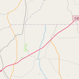
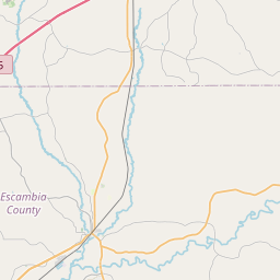

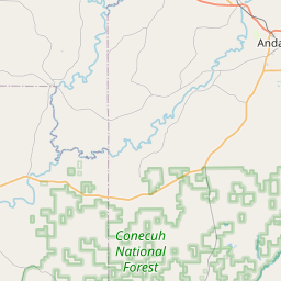
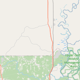

Leaflet | <a href="https://www.openstreetmap.org/copyright">© OpenStreetMap contributors</a>
Item
| Property | Value |
|---|---|
| id | 1055030 |
| cluster | None |
| dasqkm_diff | 0.900000000000091 |
| description | USGS NWIS Stream/River/Lake Site 02374700: MURDER CREEK AT STATE HWY 41 AT BREWTON, AL. |
| fid | 189117 |
| gage_totdasqkm | 1126.6 |
| mainstem_uri | https://geoconnex.us/ref/mainstems/2546246 |
| name | MURDER CREEK AT STATE HWY 41 AT BREWTON, AL. |
| nhdpv2_comid | 2413350.0 |
| nhdpv2_link_source | https://www.epa.gov/waterdata/nhdplus-national-hydrography-dataset-plus |
| nhdpv2_offset_m | 71.2948081554043 |
| nhdpv2_reach_measure | 42.0929 |
| nhdpv2_reachcode | 03140304000318 |
| nhdpv2_totdasqkm | 1127.5 |
| nws_url | https://water.noaa.gov/gauges/BWMA1 |
| provider | https://waterdata.usgs.gov |
| provider_id | 02374700 |
| subjectof | https://waterdata.usgs.gov/monitoring-location/02374700 |
| uri | https://geoconnex.us/ref/gages/1055030 |