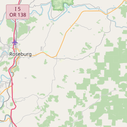
USGS NWIS Stream/River/Lake Site 14316455: N.UMPQUA R BLW SODA SPGS RESV, NR TOKETEE FALLS,OR
Map
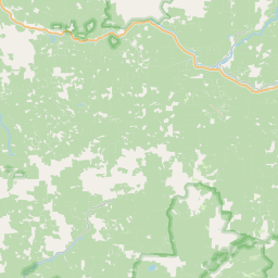
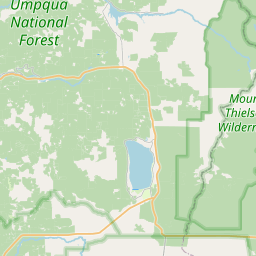
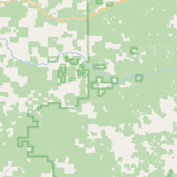
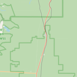

Leaflet | <a href="https://www.openstreetmap.org/copyright">© OpenStreetMap contributors</a>
Item
| Property | Value |
|---|---|
| id | 1055031 |
| cluster | https://geoconnex.us/ref/gages/1161294,https://geoconnex.us/ref/gages/1162306,https://geoconnex.us/ref/gages/1162307 |
| dasqkm_diff | 14.6999999999998 |
| description | USGS NWIS Stream/River/Lake Site 14316455: N.UMPQUA R BLW SODA SPGS RESV, NR TOKETEE FALLS,OR |
| fid | 184897 |
| gage_totdasqkm | 1126.9 |
| mainstem_uri | https://geoconnex.us/ref/mainstems/2322888 |
| name | N.UMPQUA R BLW SODA SPGS RESV, NR TOKETEE FALLS,OR |
| nhdpv2_comid | 23894292.0 |
| nhdpv2_link_source | https://www.epa.gov/waterdata/nhdplus-national-hydrography-dataset-plus |
| nhdpv2_offset_m | 26.2024503333826 |
| nhdpv2_reach_measure | 90.15336 |
| nhdpv2_reachcode | 17100301000185 |
| nhdpv2_totdasqkm | 1141.6 |
| nws_url | None |
| provider | https://waterdata.usgs.gov |
| provider_id | 14316455 |
| subjectof | https://waterdata.usgs.gov/monitoring-location/14316455 |
| uri | https://geoconnex.us/ref/gages/1055031 |