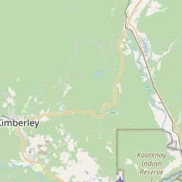
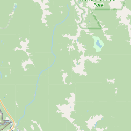
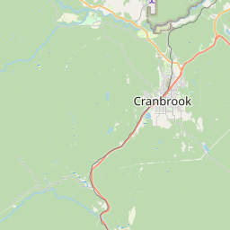
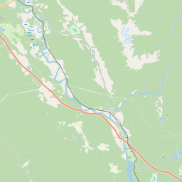
USGS NWIS Stream/River/Lake Site 12296000: KOOTENAY RIVER AT FORT STEELE, BC
Map
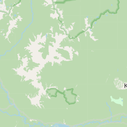
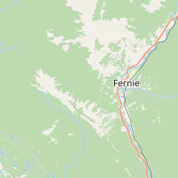
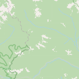
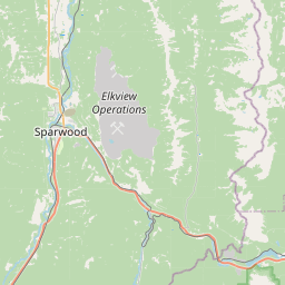
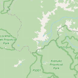

Leaflet | <a href="https://www.openstreetmap.org/copyright">© OpenStreetMap contributors</a>
Item
| Property | Value |
|---|---|
| id | 1055032 |
| cluster | None |
| dasqkm_diff | None |
| description | USGS NWIS Stream/River/Lake Site 12296000: KOOTENAY RIVER AT FORT STEELE, BC |
| fid | 48019 |
| gage_totdasqkm | 11266.5 |
| mainstem_uri | None |
| name | KOOTENAY RIVER AT FORT STEELE, BC |
| nhdpv2_comid | None |
| nhdpv2_link_source | None |
| nhdpv2_offset_m | None |
| nhdpv2_reach_measure | None |
| nhdpv2_reachcode | None |
| nhdpv2_totdasqkm | None |
| nws_url | None |
| provider | https://waterdata.usgs.gov |
| provider_id | 12296000 |
| subjectof | https://waterdata.usgs.gov/monitoring-location/12296000 |
| uri | https://geoconnex.us/ref/gages/1055032 |