USGS NWIS Stream/River/Lake Site 02219500: APALACHEE RIVER NEAR BUCKHEAD, GA
Map
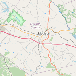
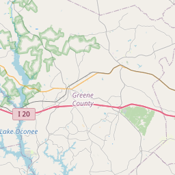

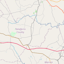
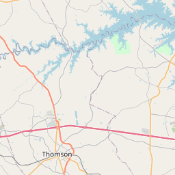

Leaflet | <a href="https://www.openstreetmap.org/copyright">© OpenStreetMap contributors</a>
Item
| Property | Value |
|---|---|
| id | 1055038 |
| cluster | None |
| dasqkm_diff | 23.7 |
| description | USGS NWIS Stream/River/Lake Site 02219500: APALACHEE RIVER NEAR BUCKHEAD, GA |
| fid | 48022 |
| gage_totdasqkm | 1129.2 |
| mainstem_uri | https://geoconnex.us/ref/mainstems/2476849 |
| name | APALACHEE RIVER NEAR BUCKHEAD, GA |
| nhdpv2_comid | 1051263.0 |
| nhdpv2_link_source | https://doi.org/10.5066/P9J5CK2Y |
| nhdpv2_offset_m | 0.169288476221813 |
| nhdpv2_reach_measure | 92.021 |
| nhdpv2_reachcode | 03070101000489 |
| nhdpv2_totdasqkm | 1152.9 |
| nws_url | None |
| provider | https://waterdata.usgs.gov |
| provider_id | 02219500 |
| subjectof | https://waterdata.usgs.gov/monitoring-location/02219500 |
| uri | https://geoconnex.us/ref/gages/1055038 |