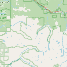
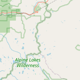
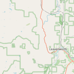
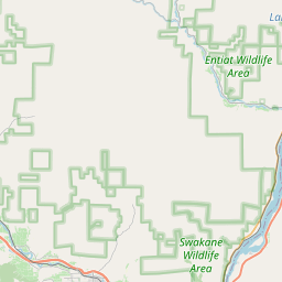
USGS NWIS Stream/River/Lake Site 12132000: MILLER RIVER AT MILLER RIVER, WA
Map


Leaflet | <a href="https://www.openstreetmap.org/copyright">© OpenStreetMap contributors</a>
Item
| Property | Value |
|---|---|
| id | 1055712 |
| cluster | None |
| dasqkm_diff | 0.200000000000003 |
| description | USGS NWIS Stream/River/Lake Site 12132000: MILLER RIVER AT MILLER RIVER, WA |
| fid | 184151 |
| gage_totdasqkm | 118.1 |
| mainstem_uri | https://geoconnex.us/ref/mainstems/2338031 |
| name | MILLER RIVER AT MILLER RIVER, WA |
| nhdpv2_comid | 23963129.0 |
| nhdpv2_link_source | https://www.epa.gov/waterdata/nhdplus-national-hydrography-dataset-plus |
| nhdpv2_offset_m | 99.3586075349838 |
| nhdpv2_reach_measure | 75.88916 |
| nhdpv2_reachcode | 17110009000157 |
| nhdpv2_totdasqkm | 118.3 |
| provider | https://waterdata.usgs.gov |
| provider_id | 12132000 |
| subjectof | https://waterdata.usgs.gov/monitoring-location/12132000 |
| uri | https://geoconnex.us/ref/gages/1055712 |