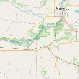
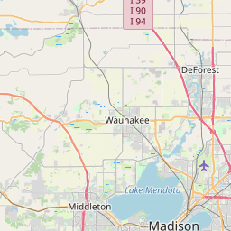
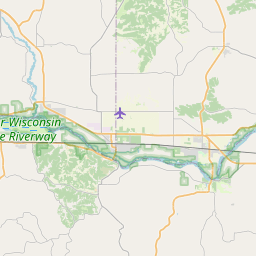
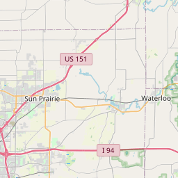
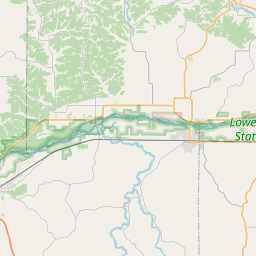
USGS NWIS Stream/River/Lake Site 05406500: BLACK EARTH CREEK AT BLACK EARTH, WI
Map

Leaflet | <a href="https://www.openstreetmap.org/copyright">© OpenStreetMap contributors</a>
Item
| Property | Value |
|---|---|
| id | 1055715 |
| cluster | None |
| dasqkm_diff | -3.8 |
| description | USGS NWIS Stream/River/Lake Site 05406500: BLACK EARTH CREEK AT BLACK EARTH, WI |
| fid | 184153 |
| gage_totdasqkm | 118.1 |
| mainstem_uri | https://geoconnex.us/ref/mainstems/437170 |
| name | BLACK EARTH CREEK AT BLACK EARTH, WI |
| nhdpv2_comid | 13633025.0 |
| nhdpv2_link_source | https://doi.org/10.5066/P9J5CK2Y |
| nhdpv2_offset_m | 105.049085575901 |
| nhdpv2_reach_measure | 8.05098477069 |
| nhdpv2_reachcode | 07070005000203 |
| nhdpv2_totdasqkm | 114.3 |
| provider | https://waterdata.usgs.gov |
| provider_id | 05406500 |
| subjectof | https://waterdata.usgs.gov/monitoring-location/05406500 |
| uri | https://geoconnex.us/ref/gages/1055715 |