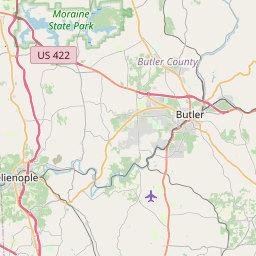
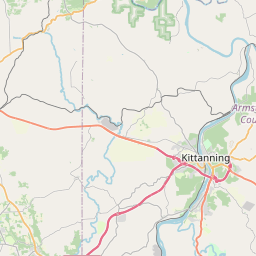
USGS NWIS Stream/River/Lake Site 03106280: Lake Arthur at Moraine State Park, PA
Map


Leaflet | <a href="https://www.openstreetmap.org/copyright">© OpenStreetMap contributors</a>
Item
| Property | Value |
|---|---|
| id | 1060242 |
| cluster | https://geoconnex.us/ref/gages/1166230 |
| dasqkm_diff | -0.599999999999994 |
| description | USGS NWIS Stream/River/Lake Site 03106280: Lake Arthur at Moraine State Park, PA |
| fid | 189777 |
| gage_totdasqkm | 131.6 |
| mainstem_uri | https://geoconnex.us/ref/mainstems/458649 |
| name | Lake Arthur at Moraine State Park, PA |
| nhdpv2_comid | 10926455.0 |
| nhdpv2_link_source | https://www.epa.gov/waterdata/nhdplus-national-hydrography-dataset-plus |
| nhdpv2_offset_m | 25.9723097883901 |
| nhdpv2_reach_measure | 21.7762 |
| nhdpv2_reachcode | 05030105001216 |
| nhdpv2_totdasqkm | 131.0 |
| nws_url | None |
| provider | https://waterdata.usgs.gov |
| provider_id | 03106280 |
| subjectof | https://waterdata.usgs.gov/monitoring-location/03106280 |
| uri | https://geoconnex.us/ref/gages/1060242 |