USGS NWIS Stream/River/Lake Site 05548180: NORTH BRANCH NIPPERSINK CREEK AT RICHMOND, IL
Map
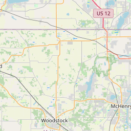


Leaflet | <a href="https://www.openstreetmap.org/copyright">© OpenStreetMap contributors</a>
Item
| Property | Value |
|---|---|
| id | 1060248 |
| cluster | None |
| dasqkm_diff | 6.79999999999998 |
| description | USGS NWIS Stream/River/Lake Site 05548180: NORTH BRANCH NIPPERSINK CREEK AT RICHMOND, IL |
| fid | 52575 |
| gage_totdasqkm | 131.8 |
| mainstem_uri | https://geoconnex.us/ref/mainstems/480257 |
| name | NORTH BRANCH NIPPERSINK CREEK AT RICHMOND, IL |
| nhdpv2_comid | 14770666.0 |
| nhdpv2_link_source | https://github.com/internetofwater/ref_gages |
| nhdpv2_offset_m | 309.341748036858 |
| nhdpv2_reach_measure | 35.3058 |
| nhdpv2_reachcode | 07120006000191 |
| nhdpv2_totdasqkm | 138.6 |
| nws_url | None |
| provider | https://waterdata.usgs.gov |
| provider_id | 05548180 |
| subjectof | https://waterdata.usgs.gov/monitoring-location/05548180 |
| uri | https://geoconnex.us/ref/gages/1060248 |