USGS NWIS Stream/River/Lake Site 12426000: SPOKANE RIVER BELOW NINE MILE DAM AT SPOKANE, WA
Map
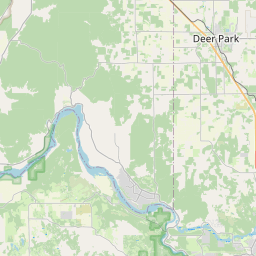
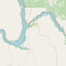

Leaflet | <a href="https://www.openstreetmap.org/copyright">© OpenStreetMap contributors</a>
Item
| Property | Value |
|---|---|
| id | 1061030 |
| cluster | None |
| dasqkm_diff | -805.700000000001 |
| description | USGS NWIS Stream/River/Lake Site 12426000: SPOKANE RIVER BELOW NINE MILE DAM AT SPOKANE, WA |
| fid | 53227 |
| gage_totdasqkm | 13519.7 |
| mainstem_uri | https://geoconnex.us/ref/mainstems/1427572 |
| name | SPOKANE RIVER BELOW NINE MILE DAM AT SPOKANE, WA |
| nhdpv2_comid | 23021792.0 |
| nhdpv2_link_source | https://github.com/internetofwater/ref_gages |
| nhdpv2_offset_m | 77.8340240204269 |
| nhdpv2_reach_measure | 75.1953 |
| nhdpv2_reachcode | 17010307000773 |
| nhdpv2_totdasqkm | 12714.0 |
| nws_url | None |
| provider | https://waterdata.usgs.gov |
| provider_id | 12426000 |
| subjectof | https://waterdata.usgs.gov/monitoring-location/12426000 |
| uri | https://geoconnex.us/ref/gages/1061030 |