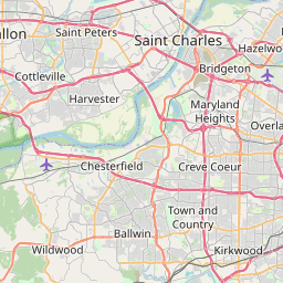
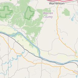
USGS NWIS Stream/River/Lake Site 06935965: Missouri River at St. Charles, MO
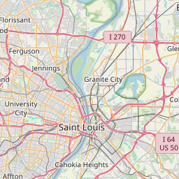
Map

Leaflet | <a href="https://www.openstreetmap.org/copyright">© OpenStreetMap contributors</a>
Item
| Property | Value |
|---|---|
| id | 1061068 |
| cluster | None |
| dasqkm_diff | -75508.3 |
| description | USGS NWIS Stream/River/Lake Site 06935965: Missouri River at St. Charles, MO |
| fid | 53259 |
| gage_totdasqkm | 1357154.8 |
| mainstem_uri | https://geoconnex.us/ref/mainstems/312532 |
| name | Missouri River at St. Charles, MO |
| nhdpv2_comid | 6010106.0 |
| nhdpv2_link_source | https://github.com/internetofwater/ref_gages |
| nhdpv2_offset_m | 339.673543338779 |
| nhdpv2_reach_measure | 70.2749 |
| nhdpv2_reachcode | 10300200000010 |
| nhdpv2_totdasqkm | 1281646.5 |
| nws_url | https://water.noaa.gov/gauges/SCLM7 |
| provider | https://waterdata.usgs.gov |
| provider_id | 06935965 |
| subjectof | https://waterdata.usgs.gov/monitoring-location/06935965 |
| uri | https://geoconnex.us/ref/gages/1061068 |