USGS NWIS Stream/River/Lake Site 02105769: CAPE FEAR R AT LOCK 1 NR KELLY, NC
Map
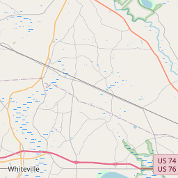
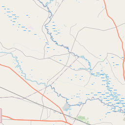
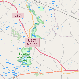
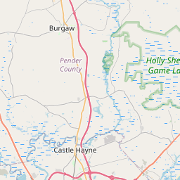


Leaflet | <a href="https://www.openstreetmap.org/copyright">© OpenStreetMap contributors</a>
Item
| Property | Value |
|---|---|
| id | 1061079 |
| cluster | None |
| dasqkm_diff | 27.2000000000007 |
| description | USGS NWIS Stream/River/Lake Site 02105769: CAPE FEAR R AT LOCK 1 NR KELLY, NC |
| fid | 53268 |
| gage_totdasqkm | 13610.4 |
| mainstem_uri | https://geoconnex.us/ref/mainstems/2407369 |
| name | CAPE FEAR R AT LOCK 1 NR KELLY, NC |
| nhdpv2_comid | 8834930.0 |
| nhdpv2_link_source | https://doi.org/10.5066/P9J5CK2Y |
| nhdpv2_offset_m | 0.595463539918291 |
| nhdpv2_reach_measure | 26.733 |
| nhdpv2_reachcode | 03030005001431 |
| nhdpv2_totdasqkm | 13637.6 |
| nws_url | https://water.noaa.gov/gauges/CPFN7 |
| provider | https://waterdata.usgs.gov |
| provider_id | 02105769 |
| subjectof | https://waterdata.usgs.gov/monitoring-location/02105769 |
| uri | https://geoconnex.us/ref/gages/1061079 |