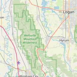
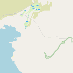
USGS NWIS Stream/River/Lake Site 10115200: LOGAN RIVER BLW BLACKSMITH FORK NR LOGAN, UTAH
Map

Leaflet | <a href="https://www.openstreetmap.org/copyright">© OpenStreetMap contributors</a>
Item
| Property | Value |
|---|---|
| id | 1061122 |
| cluster | None |
| dasqkm_diff | 72.7 |
| description | USGS NWIS Stream/River/Lake Site 10115200: LOGAN RIVER BLW BLACKSMITH FORK NR LOGAN, UTAH |
| fid | 53309 |
| gage_totdasqkm | 1369.6 |
| mainstem_uri | https://geoconnex.us/ref/mainstems/1901365 |
| name | LOGAN RIVER BLW BLACKSMITH FORK NR LOGAN, UTAH |
| nhdpv2_comid | 664488.0 |
| nhdpv2_link_source | https://github.com/internetofwater/ref_gages |
| nhdpv2_offset_m | 39.1753101639278 |
| nhdpv2_reach_measure | 64.2611 |
| nhdpv2_reachcode | 16010203000058 |
| nhdpv2_totdasqkm | 1442.3 |
| nws_url | None |
| provider | https://waterdata.usgs.gov |
| provider_id | 10115200 |
| subjectof | https://waterdata.usgs.gov/monitoring-location/10115200 |
| uri | https://geoconnex.us/ref/gages/1061122 |