USGS NWIS Stream/River/Lake Site 01348995: OTSQUAGO CREEK AT VALLEY BROOK NR FORT PLAIN NY
Map
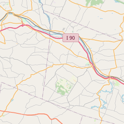
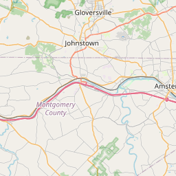


Leaflet | <a href="https://www.openstreetmap.org/copyright">© OpenStreetMap contributors</a>
Item
| Property | Value |
|---|---|
| id | 1062747 |
| cluster | None |
| dasqkm_diff | 0.0 |
| description | USGS NWIS Stream/River/Lake Site 01348995: OTSQUAGO CREEK AT VALLEY BROOK NR FORT PLAIN NY |
| fid | 54659 |
| gage_totdasqkm | 150.2 |
| mainstem_uri | https://geoconnex.us/ref/mainstems/2106787 |
| name | OTSQUAGO CREEK AT VALLEY BROOK NR FORT PLAIN NY |
| nhdpv2_comid | 22745075.0 |
| nhdpv2_link_source | https://github.com/internetofwater/ref_gages |
| nhdpv2_offset_m | 43.22930979657 |
| nhdpv2_reach_measure | 11.0923 |
| nhdpv2_reachcode | 02020004000542 |
| nhdpv2_totdasqkm | 150.2 |
| nws_url | None |
| provider | https://waterdata.usgs.gov |
| provider_id | 01348995 |
| subjectof | https://waterdata.usgs.gov/monitoring-location/01348995 |
| uri | https://geoconnex.us/ref/gages/1062747 |