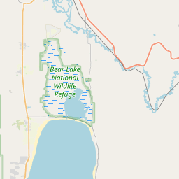
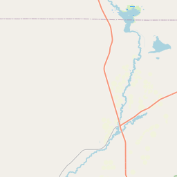
USGS NWIS Stream/River/Lake Site 09210000: FONTENELLE CREEK AT UPPER STATION NR FONTENELLE
Map
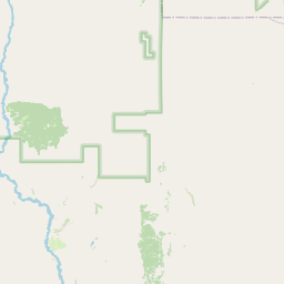
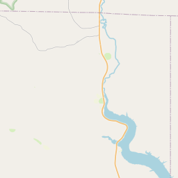
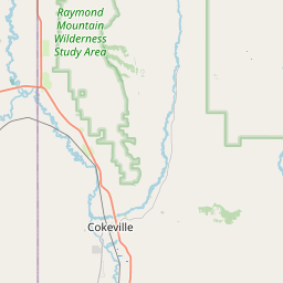

Leaflet | <a href="https://www.openstreetmap.org/copyright">© OpenStreetMap contributors</a>
Item
| Property | Value |
|---|---|
| id | 1062764 |
| cluster | None |
| dasqkm_diff | 8.90000000000001 |
| description | USGS NWIS Stream/River/Lake Site 09210000: FONTENELLE CREEK AT UPPER STATION NR FONTENELLE |
| fid | 190195 |
| gage_totdasqkm | 150.2 |
| mainstem_uri | https://geoconnex.us/ref/mainstems/38863 |
| name | FONTENELLE CREEK AT UPPER STATION NR FONTENELLE |
| nhdpv2_comid | 18354011.0 |
| nhdpv2_link_source | https://www.epa.gov/waterdata/nhdplus-national-hydrography-dataset-plus |
| nhdpv2_offset_m | 46.1269964145831 |
| nhdpv2_reach_measure | 54.3706 |
| nhdpv2_reachcode | 14040101000419 |
| nhdpv2_totdasqkm | 159.1 |
| nws_url | None |
| provider | https://waterdata.usgs.gov |
| provider_id | 09210000 |
| subjectof | https://waterdata.usgs.gov/monitoring-location/09210000 |
| uri | https://geoconnex.us/ref/gages/1062764 |